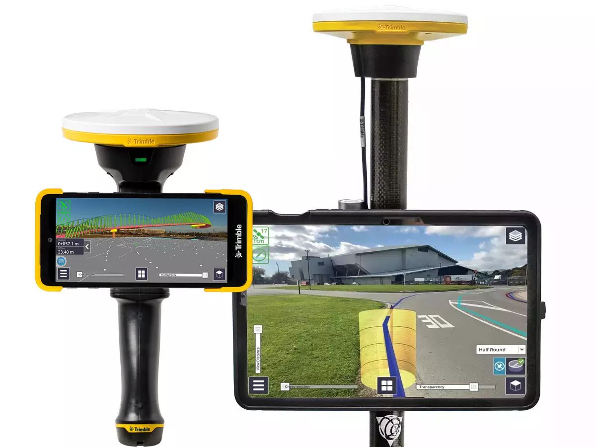
SiteVision
Connect your office to the field with a Trimble tablet, rugged and fully connected field computer for construction measurements and site positioning. Brains and brawn. What could be better.
Visualize Data in the Field
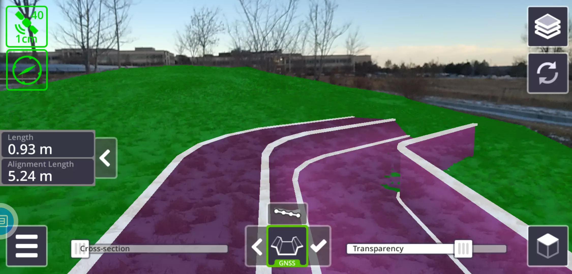
Trimble SiteVision Software brings spatial data to life in real-world environments so you can easily visualize, explore and understand complex designs—right on your own mobile device. SiteVision plays a key role in all stages of the construction lifecycle: planning and initial visualization, checking progress and preventing issues during construction to reduce cost and time, completion and maintenance.
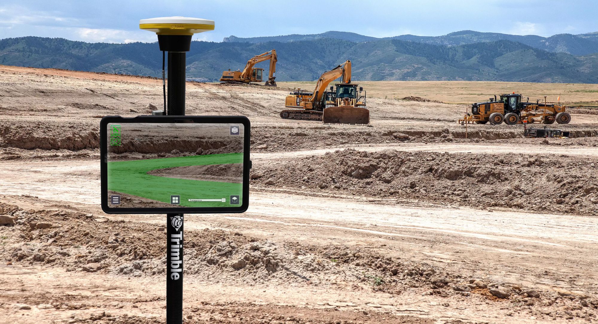
In Context, On Site
- Visualize the design in the field to see how the plan will affect the surrounding environment
- Based on color graduations, virtually overlay cut/fill maps, pass count maps, density or any other sampling technique to see the plan in context
- Centimeter-level accuracy gives you the confidence to make measurements, calculations and decisions on the spot
- Plan and visualize onsite progress, inspect completed work, complete quality management and identify issues using built-in issue tracking and reporting to reduce costs and time
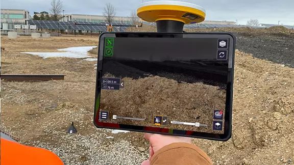
Simpler Scanning
- Gain the power of scanning in a simpler, faster and more cost-effective mobile solution
- Work faster by scanning on the move and obtain accurately georeferenced points that are exported directly to Trimble Connect
- Only available with certain LiDAR-equipped devices
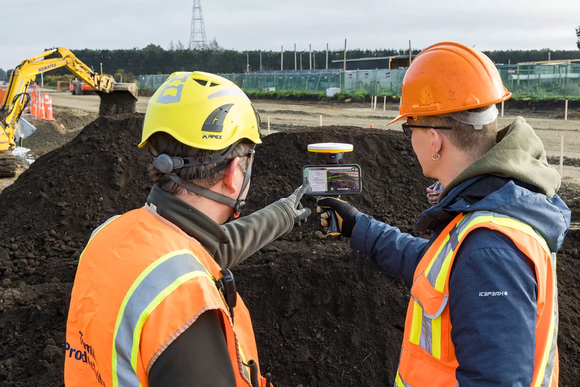
Communicate and Collaborate
- Real-time reporting from the field to the office eliminates delays and avoids rework
- Share, communicate and collectively interact in real time with easy to understand visualizations to efficiently collaborate with people of all skill levels
- Streamline data with feature codes that label items, saving time and keeping data consistent
Increase Efficiency
- Easily understand complex information to quickly take action
- Take photos, measurements and notes in the field for accurate and up-to-date reporting, create tasks and assign them to team members
- Leverage data from Trimble solutions to maximize your investment (Trimble Business Center, Trimble Stratus, Trimble Site Positioning Systems and more)
Utilize Your Existing Equipment
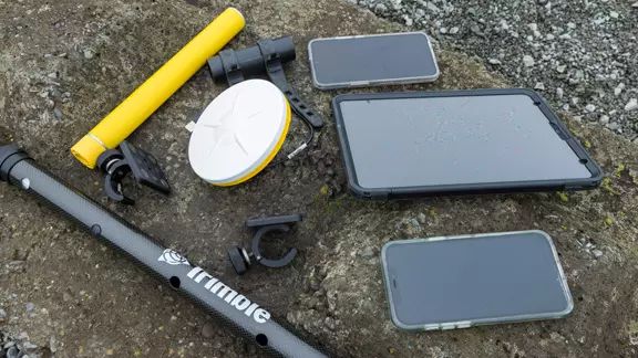
- Transform your own phone or tablet into a powerful multi-purpose tool with the addition of the low cost Trimble DA2 GNSS Smart Antenna
- Use your existing batteries with the interchangeable USB-powered system to work longer in the field
- Deploy the DA2 receiver elsewhere in your operations for an even faster return on investment
SiteVision Mobile
- SiteVision Mobile is a fully-featured, lower-cost SiteVision subscription option
- Available worldwide to contractors with the Trimble Works or Works Plus Subscription - Siteworks Precise Rover Bundle
Trimble HPS2
-
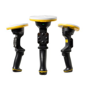
Designed for easy and convenient interaction with AR information in the field.
- Lightweight and portable handheld unit
- Includes a built-in DA2 receiver for powerful processing
- Easily attach any mobile phone with the magnetic mount (Android or Apple)
- Built-in battery and Bluetooth connection for cable free operation
- Integrated Electronic Distance Measurement (EDM) to take accurate measurements on the spot
The HPS2 handle is extremely easy to set up. Simply attach the magnet to the back of your phone and camera offsets are instantly calculated through the new and automatic EDM calibration process.

Applications
SiteVision is an augmented reality system designed to improve a variety of workflows, for example:
-
- Calculate quick measurements on site (points, lines, cut/fill values)
- Validate data on the jobsite
- Utilize sub surface mapping information to see the location, size and attributes of underground infrastructure and utilities
- Quickly determine jobsite productivity with more efficient inspections
- Visualize work planned and work completed
- Capture photo-realistic scans to create models of preconstruction conditions and document new site features or changing areas to adjust your plan to current conditions
- Perform agile 3D scans or supplement laser scanner and drone data to create as-builts as you work
- Check finished grade and laid material thickness against design elevations and tolerances
- Monitor and conduct quality control for earthworks and paving operations
- Get accurate locations relative to alignment on linear projects such as roading and highways with station and offset tracking
